
Leg 1: Bethlehem to Allentown
Number of people walking today: 38
| Route Summary | The route begins at Single Sisters’ House in historic Bethlehem. From there, we will cross the Lehigh River using the Hill to Hill Bridge and at mile 10 walk through Lehigh Parkway. The last 1.5 miles are along Schantz Road (NO sidewalks) before crossing the very busy PA100. Use the crosswalk and be careful! Last 1/2 mile along PA100 to the hotel. |
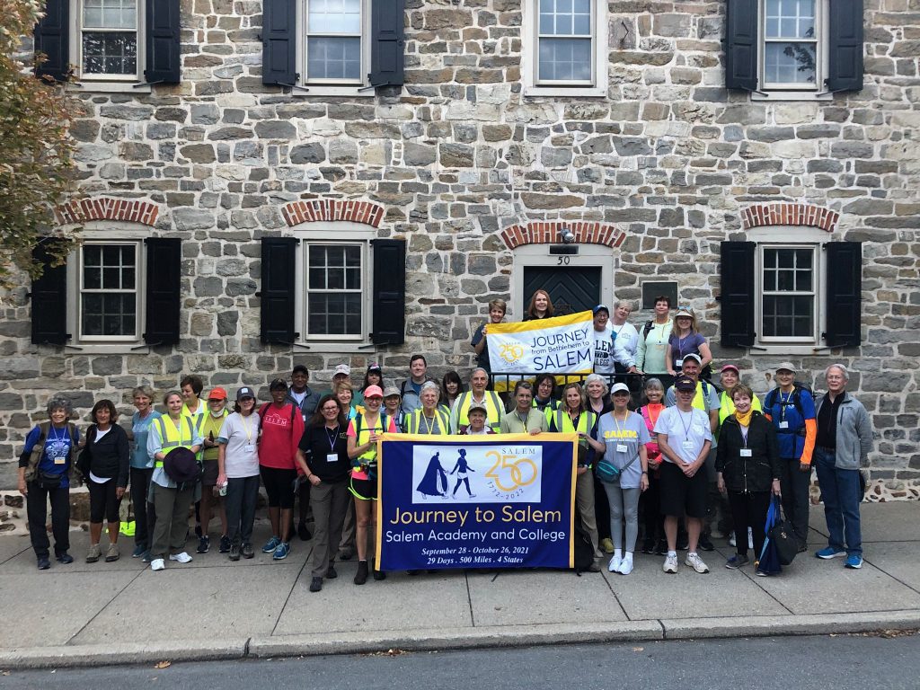
| Starting Point | Single Sisters’ House 50 W Church St. Bethlehem, PA 18018 |
| Starting Time | 6:15-6:30 am – luggage drop off at Hotel Bethlehem (to be transported to Fairfield Allentown) 6:20-6:55 am – REQUIRED Walker Check-in at Single Sisters’ House 6:30-6:55 am – OPTIONAL Drop-in for Google Maps training at Single Sisters’ House 7:00 am – Celebratory Send Off Single Sisters’ House |
| End Walking Time | 3:30 pm |
| Ending Point | Fairfield Inn & Suites Allentown West 208 PA Route 100 Breinigsville PA 18031 (610) 841-0100 |
| Walking Mileage | 18 miles |
| Meals | Breakfast: Johnny’s Bagels and Deli (opens at 6 am) Lunch: plenty of options along the route Dinner: Hops Fogelsville (7 minute drive); RSVP required |
| Restrooms | Plenty of options along the route |
| Contact Info | Van Driver: 470-653-7880. Route Manager: 336-782-1704 |
| Route map(s) |
Single Sisters‘ House to Fairfield Allentown |
| Special Navigation Instructions | |
| Laundry Availability | |
| Special Event | |
| Instructions for Driver | Map 1. Single Sisters to Hill to Hill Bridge (walkers will take the stairs). Used Pete’s Hotdogs as destination to get van to Broadway/Emaus otherwise it wanted to take you down Delaware to the next stop UPS Drop Box Map 2. pedestrian only path through Lehigh Parkway. Use driving map 2 to get from Lights in the Parkway to Lindbergh Park to meet up with walkers Evening – 7 minute drive to restaurant |
| Driver Map(s) | Driver map 1: https://goo.gl/maps/Qk66YNqctgiXCM4e7 Driver map 2: https://goo.gl/maps/AkaZErWsj7Nj3DLu5 |
| History Blog Post | The 1766 Traveling Party |
| Miscellaneous Information |
Evening – 7 minute drive to restaurant
Each Google Map route will have a starting point and multiple stops.
iPhone users: when you arrive at a stop, you must remove the PREVIOUS starting point, making your current stop the NEW starting point.
Android users: As long as you “arrive” at each stop, it will automatically advance to the next one. Otherwise, you will have to remove a stop.
EXCEPTION: Do NOT remove any stops when you are in a dead zone! This will cancel the map and you will not be able to relaunch it.
Deadzone: in poor or no cell phone coverage, you will still be able to see the route since GPS continues to work. Just don’t exit the map or try to remove a stop or you will lose the route.
Safety:
Obey all traffic laws. Use crosswalks and sidewalks wherever possible. When sidewalks are not available, generally it is recommended to walk against traffic but there may be times where the shoulder is wider walking WITH traffic. Be careful approaching curves and hills as visibility will be limited!
Walk with a buddy.